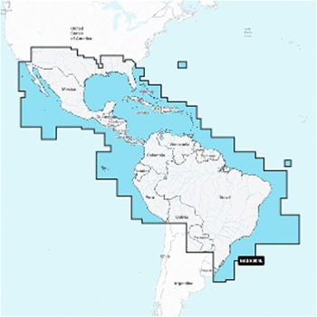
Navionics+ marine mapping provides detail-rich mapping for coastal waters, lakes, rivers and more all on one convenient card. Navionics+ mapping now combines Navionics data with Garmin data, providing unparalleled coverage and detail. Included with every Navionics+ chart is a one year subscription that includes simple access to daily chart updates through the Navionics Chart Installer software.
Daily Updates- Your purchase comes with 1-year of free daily chart updates via the free Navionics Chart Installer Software or update wirelessly with the Plotter Sync feature within the Navionics Boating app.
Dock-to-Dock Route Guidance- Using your boat settings, along with chart data and frequently traveled routes, your Navionics+ charting will suggest the best path to follow.
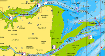
Community Edits- View information contributed by Navionics Boating App users on your compatible chartplotter. Download the Community Edits content layer from Navionics Chart Installer software to take advantage of this feature.
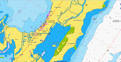
Up to 1' Contours- SonarChart HD bathymetry maps display up to 1-foot contours allowing for a better understanding of bottom structure.
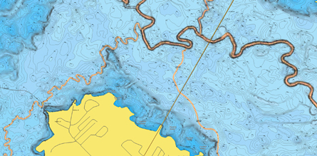
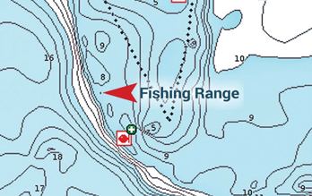
Fishing Range- Highlight a user-defined target depth range to stay focused on where you know the fish are located!
Shallow Water Shading- This handy navigation aid highlights depths defined by user settings.
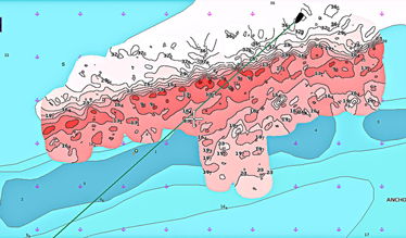
Real-Time Mapping- Create your own personal 1-foot high definition bathymetry maps that display in real time on your compatible chartplotter with SonarChart Live!
Check Compatibility Here.


