
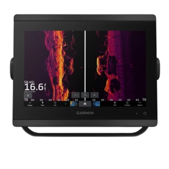
12" Touchscreen with 1KW CHIRP Sonar and GN+ Charts
IN STOCK!
$2999
Free Ground Shipping!
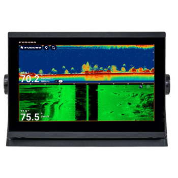
9" Inch Display with Inland Lake Mapping and Live Imaging Transducer!
IN STOCK!
$999
Free 1-Day Shipping!

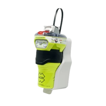
Manual Release Epirb Beacon with 10 Year Battery Life
Shop Now!
$744.95
Free 1-Day Shipping!
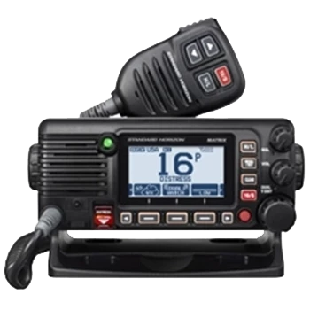
Fixed Mount VHF with Built in 66 Channel GPS Receiver
IN STOCK!
$439.95
Free Ground Shipping!
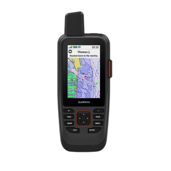
3" Sunlight Viewable Display with BlueChart G3 Coastal Maps
ON SALE!
$479.95
Free Ground Shipping!
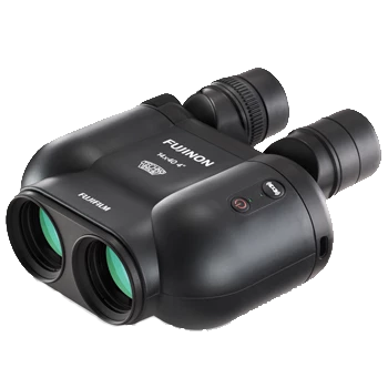
Floating Bino's with 14X Zoom and Stabilization!
ON SALE!
$999.95
Free Ground Shipping!
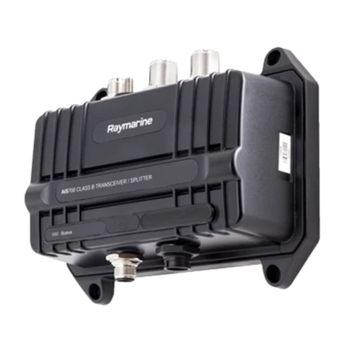
Transmit your vessels information while receiving other vessels!
IN STOCK!
$929.95
Free Ground Shipping!
13" Multi Touch Chartplotter Fishfinder with CHIRP and TZMAP Capability
IN STOCK!
$3095
Free Ground Shipping!
Latest News and Information...
Garmin Spy Pole 49" Motorized Mount, NEW Item and In-stock!
The GPS Store Swag! Now Available to Buy Online!
Shop Marine Bundles with Ease! Filter by Head Unit or Bundle Type.
Free 1 Day Delivery! 1-Day Shipping on 100's of Items!!.
BLUE SEA Installation Supplies, HUGE SALE!
Shop REFURBISHED Now!! Buy Now and Save!