Wireless Bluetooth, Built-In 66 Channel WAAS GPS, FM Radio Receiver!
IN STOCK!
$239.95
Free 2-DAY Shipping!
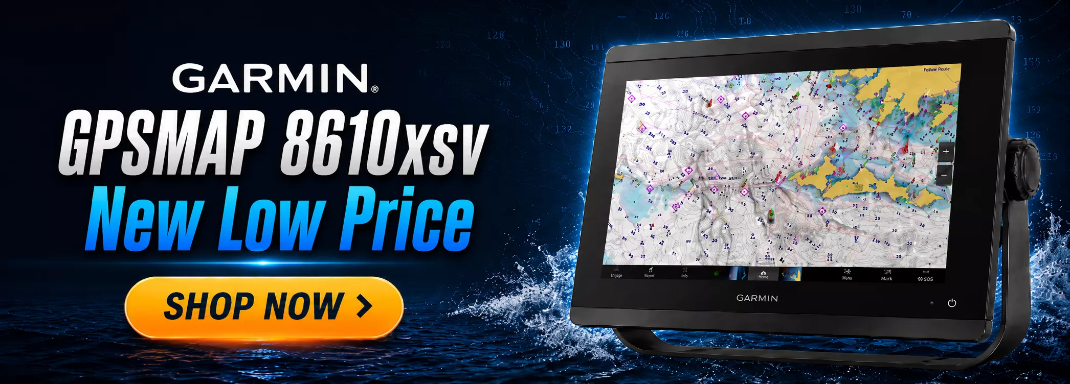
9" Display with GN+ Mapping and Ultra High Definition Transducer!
IN STOCK!
$1999
Free Ground Shipping!
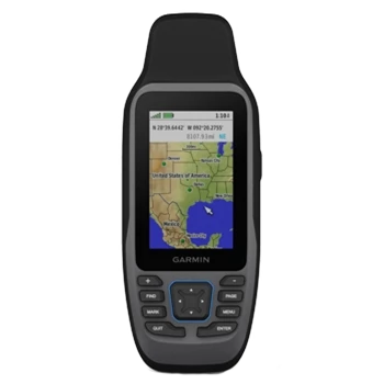
Compact Personal Locator Beacon with Return Link Service!
IN STOCK!
$619.95
Free 1-DAY Shipping!
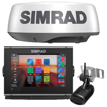
9" Fishfinder Chartplotter with Instant-On Radar!
IN STOCK!
$1999
Free Ground Shipping!
Detailed BlueChart G3 Coastal Charts for the U.S. and Great Lakes!
IN STOCK!
$305.95
Free Ground Shipping!
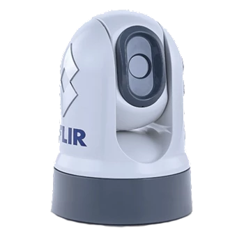
Fixed Mount Thermal Camera with 320 x 240 resolution and 9Hz refresh rate!
IN STOCK!
$3095
Free Ground Shipping!
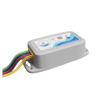
Receive High Water, Low Voltage, Freezing Alerts, and More!
IN STOCK!
$324.99
Free 1-DAY Shipping!
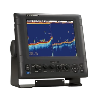
10" Fishfinder with up to 3kw Transmit Power!
ON SALE!
$3149
Free Ground Shipping!
Latest News and Information...
Garmin Livescope 2 Transducers, PREORDER NOW!
Garmin CIRQA 24/7 Wellness Smart Band, Just Announced!
The GPS Store Merch! Now Available to Buy Online!
Shop Marine Bundles with Ease! Filter by Head Unit or Bundle Type.
Free 1 Day Delivery! 1-Day Shipping on 100's of Items!!
BLUE SEA Installation Supplies, HUGE SALE!
Shop REFURBISHED Now! Buy Now and Save!